Water, hazards, digital signage, and a great walk up the Front Range!
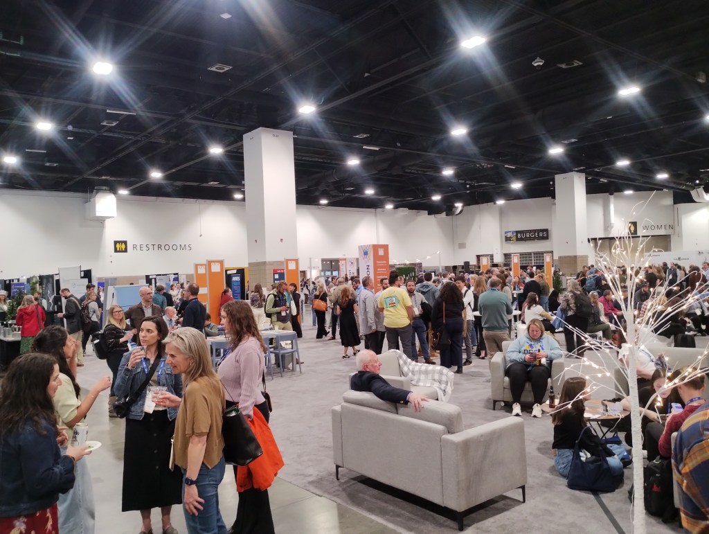
Another interesting morning at the American National Planning Conference. Enjoyed the bus ride into the Convention Centre from our accommodation, ending up meeting two other planners at our bus stop, and several more on the bus on the way in.
My morning started with a session on Colorado water issues, and a fascinating case study discussion on a collaborative approach between two Councils designed to both achieve efficiencies and manage good development. Colorado’s east is fairly arid, and so much of the eastern side of the Rockies are provided with water via a tunnel through the mountains. This makes water an extremely valuable resource!
I then attended a discussion on Hazard Planning and Resiliency, in which representatives from various states discussed the methods they have used in their States with regard to Hazard Planning.
Next was an interesting session on digital signage, including the concept of signage being utilised to create additional funding for the community in which the sign is located. An interesting approach!
I also had a fairly chilly walk up the hills above Boulder, learning about the city’s blue line, and how prior planning decisions have had implications for housing provision. We even got up high enough to see a bit of snow on the ground!
I also enjoyed meeting some of the locals in the conference ‘hub’!
 Avanzar Consulting
Leave a comment